-
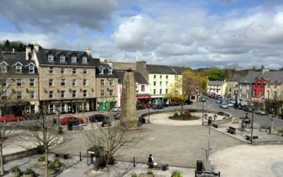
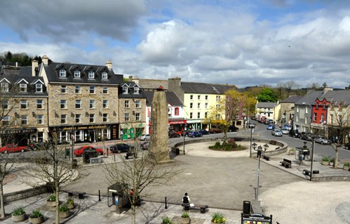
- The Diamond – Donegal Town
-
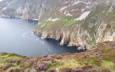
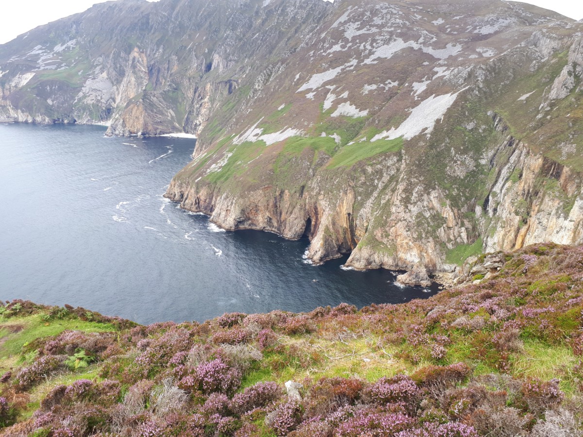
- Sliabh League Cliffs
-
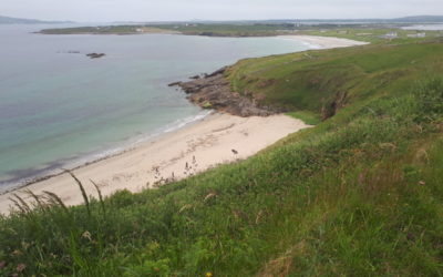
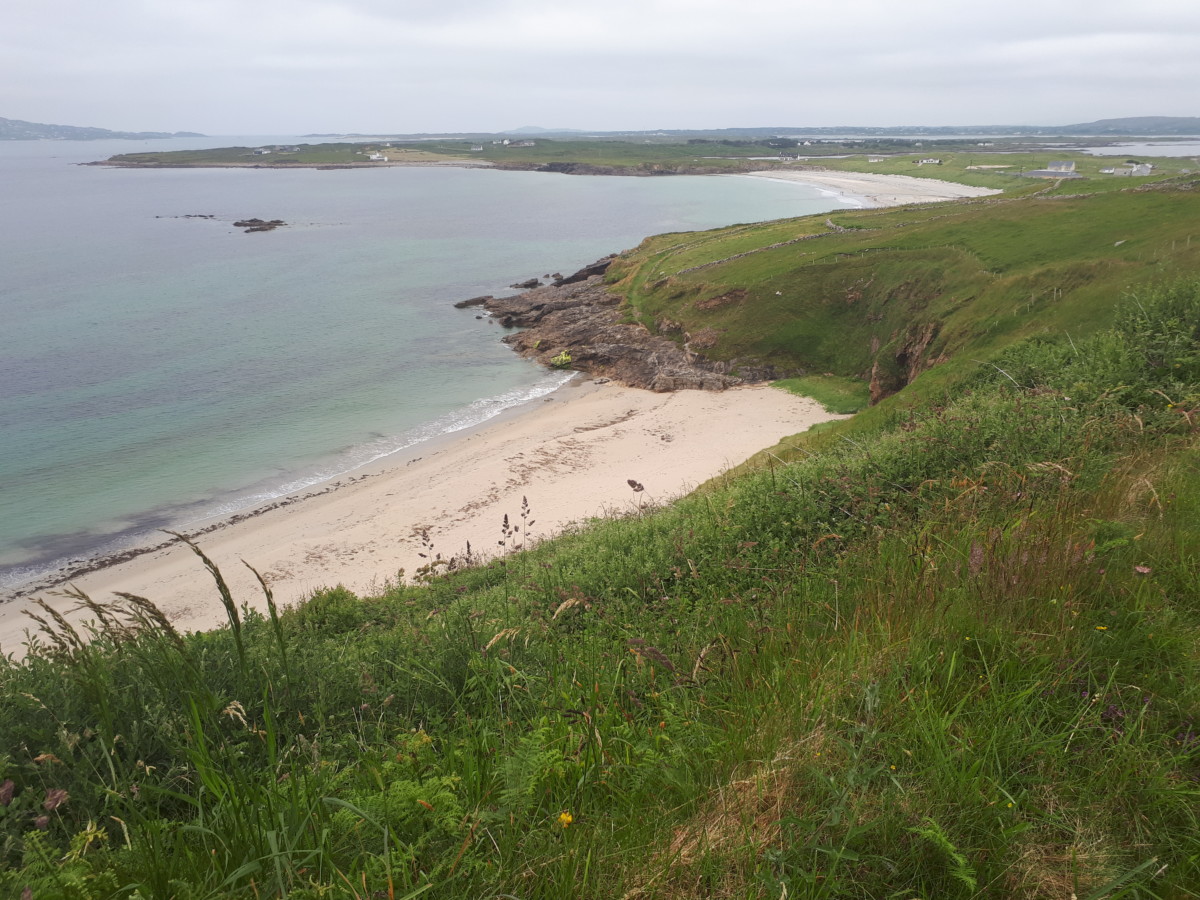
- Maghery
Description
This section of the route leaves Donegal town heading west through the village of Mountcharles which is usually pronounced locally as ‘Mount-char-liss’. The English name for the village owes its origin to the Scottish plantation ‘undertaker’, Charles Conyngham, who arrived in County Donegal during the Plantation of Ulster and asserted a landlord control over the area, renaming the region Mount Charles after himself. Soon the route turns northwards again. However, a detour further westwards of the route to visit the sea cliffs of Sliabh League. The cliffs are the highest accessible sea cliffs in Europe where the cliff face of Bunglas rises over 600m above the ocean below.
Following the route northwards the route climbs over some high ground across open moreland on minor roads before dropping down again into the charming village of Ardara. Ardara is synonymous with Donegal Handwoven Tweed and it is said that once upon a time, every second house had a hand-weaver working. Just outside Ardara is the Maghera Caves which hold a history of their own. It is said that during penal times local people would hide in these caves to avoid being killed by invading forces.
Travelling north again the route goes along the N56 national road but cyclists are well segregated from motorised traffic most of the way on a traffic free cycle path set back fom the road. The route leaves the cycle path and the last 8km of this section are again on a quite rural road which leads to the village of Dunloe and the end of this section. reached.
Comments: Section 37